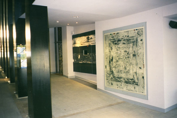
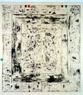
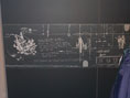
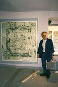
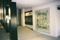
Coastline
2000
An ‘artist’s map’ of Ireland, in the form of a drypoint print and a
digital frieze, in response to the major
themes – history, culture, landscape – presented by the Irish Pavillion for the
World Exposition, Expo 2000, Hanover, Germany
Client: Department of Foreign Affairs / OPW
Architects: Murray O’Laoire Architects, Orna Hanley
Architects
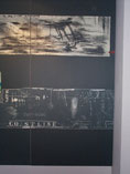
A map is a
multi-layered, coded narrative, which can: represent (re - present) thoughts,
ideas and stories accumulated over time. A map can be constructed as a way of considering not only spatial
relationships, but also issues of personal, historical and cultural identity.
A dense drawing constructed from a multiplicity of
drawn marks and viewpoints, plotting a fraction of the multifarious activity centred on the Irish coast:( invasion, banishment, massacres,
immigration, emigration, trade, travel, exploration, exploitation, fishing etc.
) on which contemporary Ireland is built, and which informs the continuing
debate on Irish culture and identity today.)
For further information: ‘Coastline’ by Jim Savag. See Texts