Courthouse Maps, Frieze
Client: Limerick County Council
Architects: Murray O’laoire Architects
2002/2003
A triptych of drypoint prints
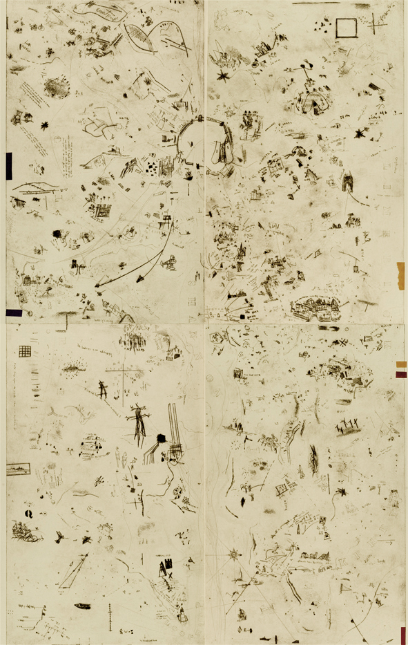
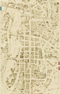
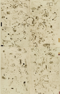
The Courthouse Maps
A multi-layered, large-scale graphic work exploring the County Courthouse from multiple viewpoints: to ‘map’ the building; ‘position’ it, not only in the geographical and topographical sense with its highly significant site by the river in the old town, but also make visible, historical, legal, political, narrative and other perspectives; to explore past, present, future, historical, contemporary and utopian visions of the theme.
Sited on the end wall of the atrium on the second floor, one work comprising of three large scale prints, each measuring h2xw1.5m - a sort of post-modern triptych
Frieze
Fragments of the metal plates from the Courthouse maps, installed throughout the building.